archsynth
Sign Up
Open main menu
Image to 3d model
Compare
Testimonials
Contact us
Log in
→
Signup
Archsynth generation
Input image
Copy Prompt
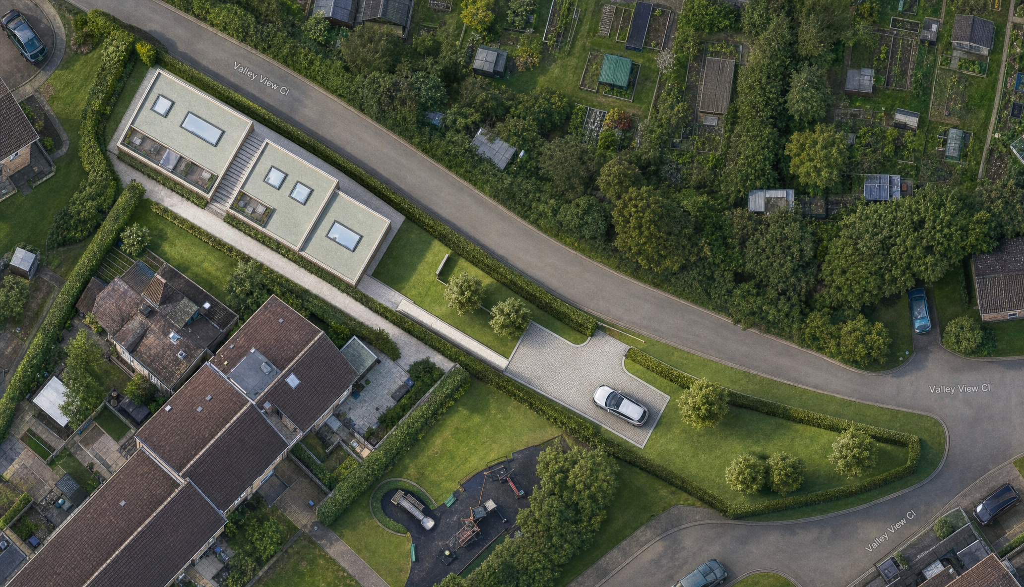
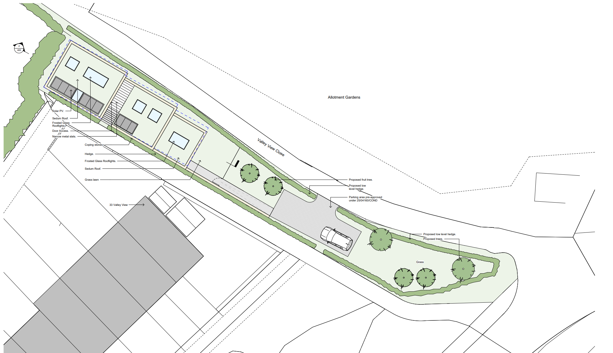
turn into a rendered aerial view the reference image is the existing google earth view use this for context only and produce a rendered site plan
Freestyle
strength 75
seed 10
Start Creating Renders Now
Related Posts
Start Creating Renders Now
View more