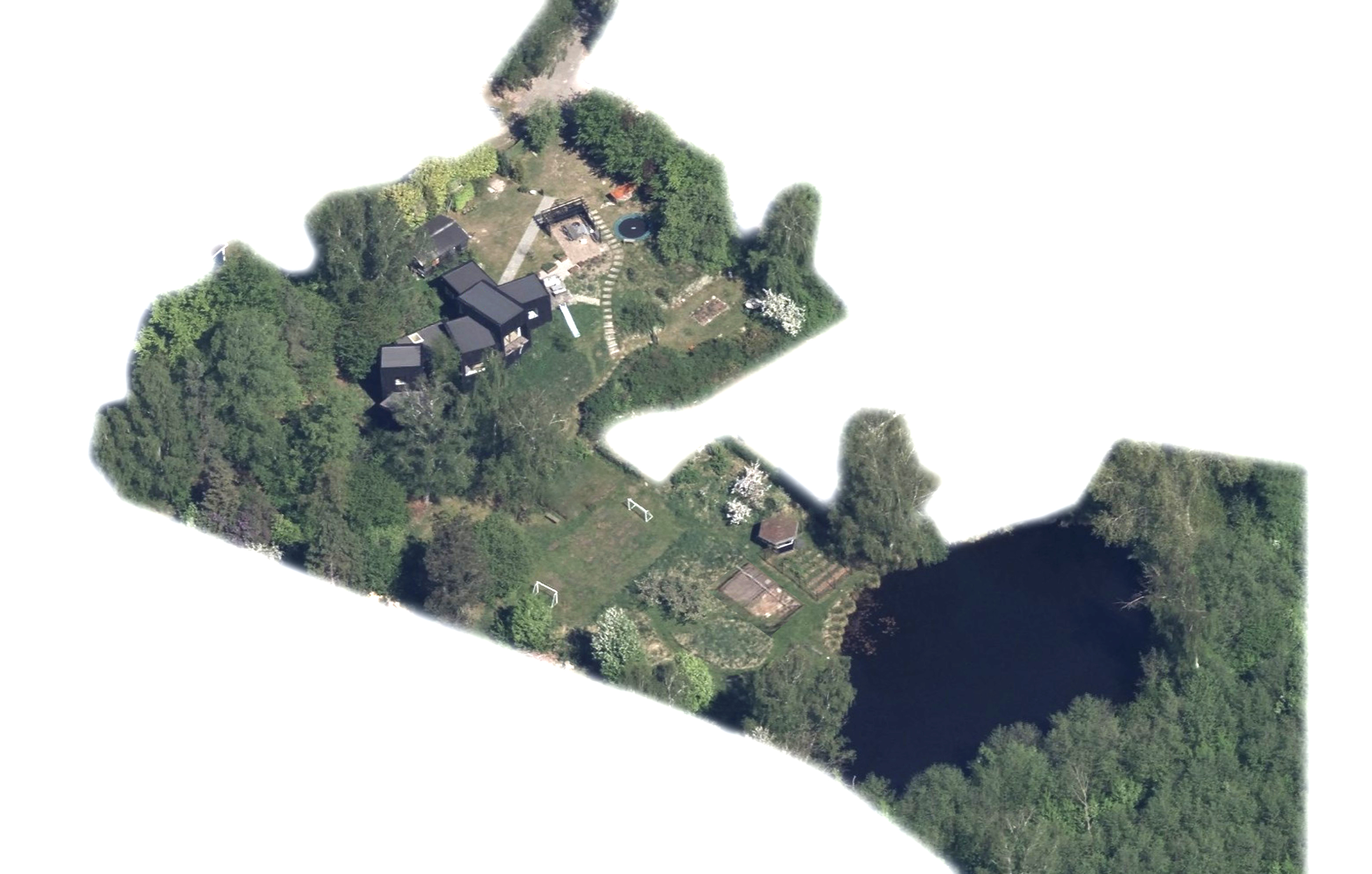
this is an illustration and tracing task not a design task use the uploaded aerial photograph as the single source of truth transform the photograph into a beautiful illustrated garden map while preserving the existing garden exactly as it appears do not redesign improve optimize reinterpret or invent any new features only illustrate landscape elements that are visible in the photograph maintain the existing positions proportions terrain buildings trees paths planting areas and all spatial relationships exactly as shown illustrate the existing garden with clear graphic distinction between buildings terraces lawns woodland planting beds vegetable gardens trees and water where visible accurately depict existing garden features such as outdoor living areas fire pit pond woodland driveway workshop terraces lawns kitchen garden raised beds orchard shrubs playground equipment and planting beds if any feature cannot clearly be identified from the photograph do not invent it empty areas should remain empty graphic style hand drawn landscape architecture illustration elegant watercolor rendering soft ink outlines scandinavian garden illustration top quality landscape presentation graphics subtle shadows muted natural colours clean composition high readability artistic but realistic similar to an illustrated estate or botanical garden map important the illustration must remain faithful to the photograph copy the existing site rather than interpreting it do not add new buildings additional terraces extra paths new planting beds new lakes or ponds new trees new garden structures pergolas gazebos fences sculptures garden furniture that is not visible vehicles people do not relocate existing elements do not change the shape of buildings the pond woodland lawns or planting areas the final result should look like a professionally illustrated garden map created from the aerial photograph not a redesigned garden