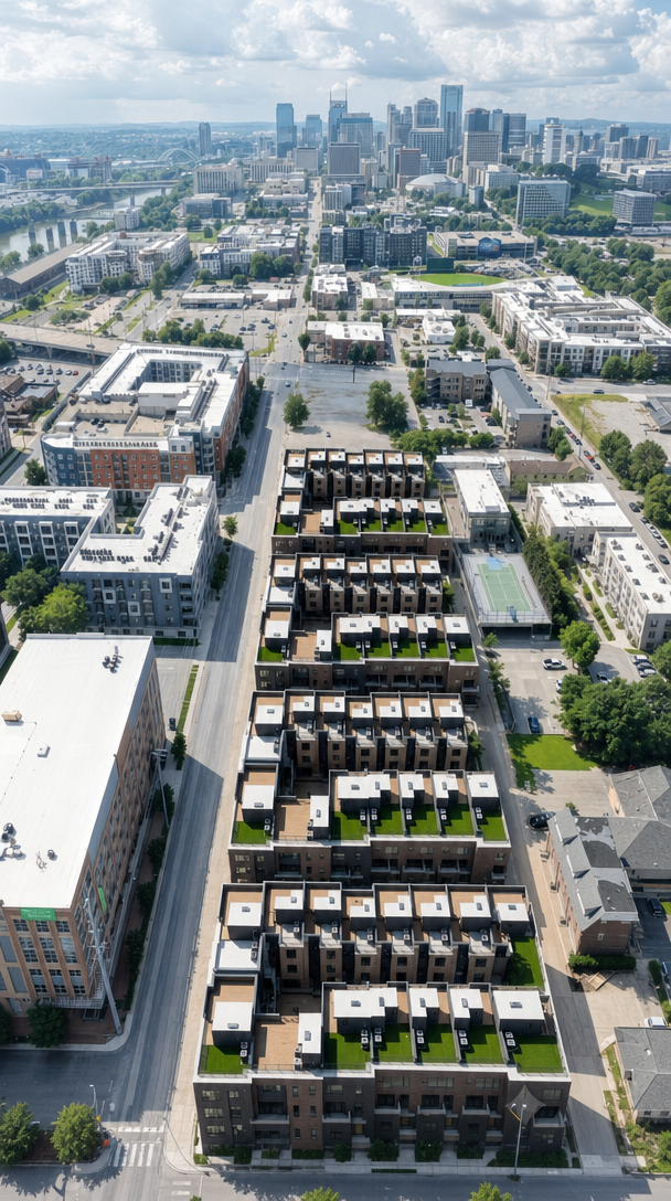
edit the base image the aerial view of the townhome development make one change only extend the right side of the photo outward to reveal slightly more of the scene to the right adding new canvas on the right edge only extend it just far enough that the horseshoe townhome buildings sit exactly centered horizontally in the frame use the second image only as a reference for what exists to the right the streets sidewalks parking areas and neighboring buildings that continue past the current right edge fill the newly revealed right area with that content so it connects naturally and continuously to the base image everything already in the base image must stay exactly as it is do not change move recolor or re render the townhome development the left side the top the bottom the sky the skyline the streets or any existing building do not crop or shift the existing content only add new scene on the right the top and bottom edges and the left edge stay exactly where they are match the base image s camera angle perspective daylight sun direction shadows color and photographic grain so the extended right portion looks like the same continuous real drone photograph just framed slightly wider on the right with the development centered