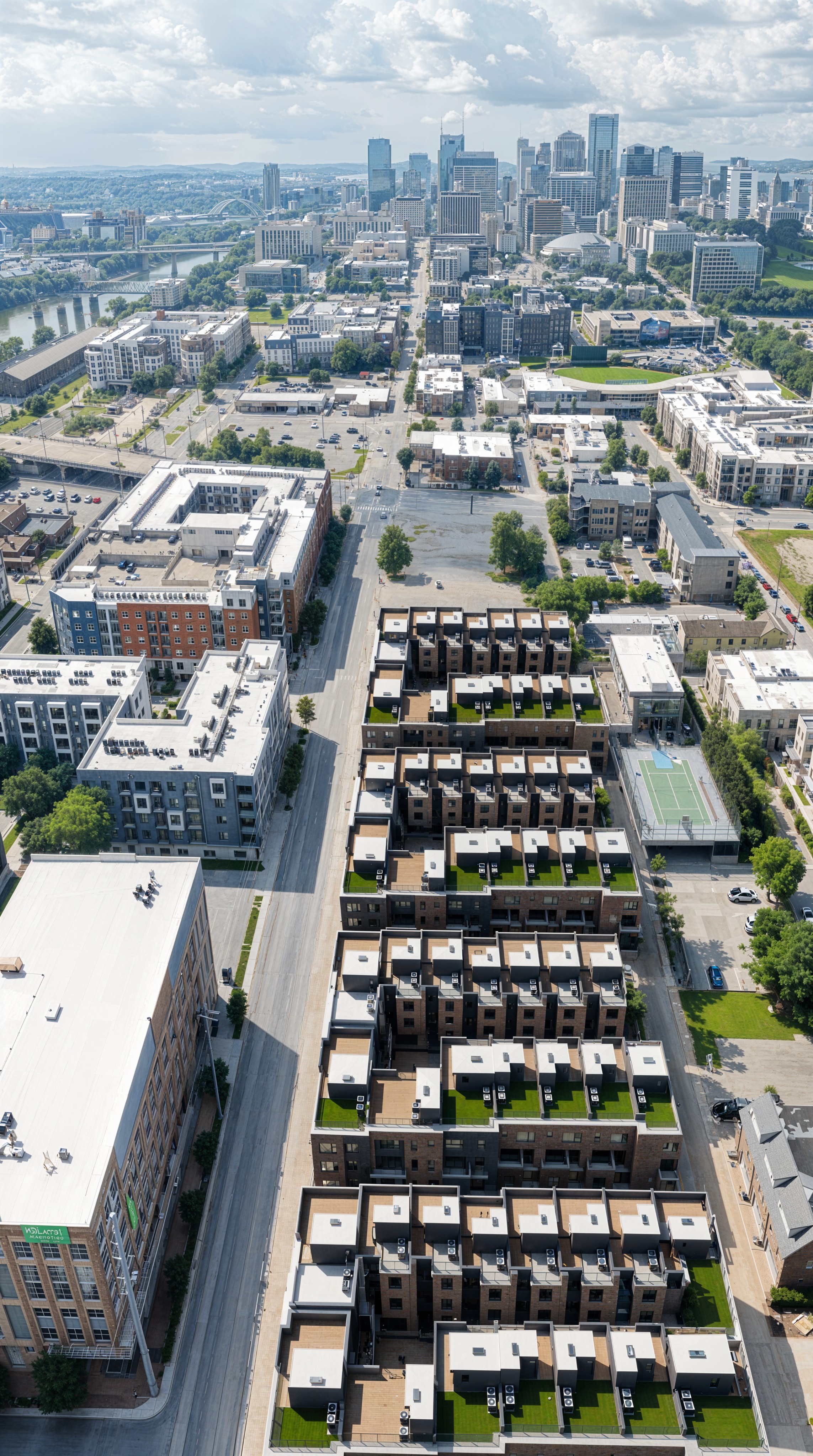
edit the first image the completed four building townhome development zoom out and widen the field of view so the framing matches the second image exactly same camera height angle distance and composition restoring the original un cropped view the first image is currently zoomed in and cropped pull the view back so nothing is cut off revealing the full scene the way the second image frames it use the second image only as the guide for framing and for what fills the areas that come back into view do not copy its empty dirt lot or construction specifically bring the foreground back into frame the master townhome building at the bottom must appear complete and fully visible with its full base and the street in front of it exactly as framed in the second image restore the same left right and top margins as the second image the streets sidewalks neighboring buildings trees sky and downtown skyline at the original wider extent keep the four completed townhome buildings from the first image exactly as they are same design count materials rooftops and position do not revert the development to a dirt lot or add construction the built development stays only the framing pulls back to the original wider view match the second image s aspect ratio and proportions and keep consistent daylight sun direction shadows color and photographic grain throughout so the result reads as the same real drone photograph taken at the original wider zoom