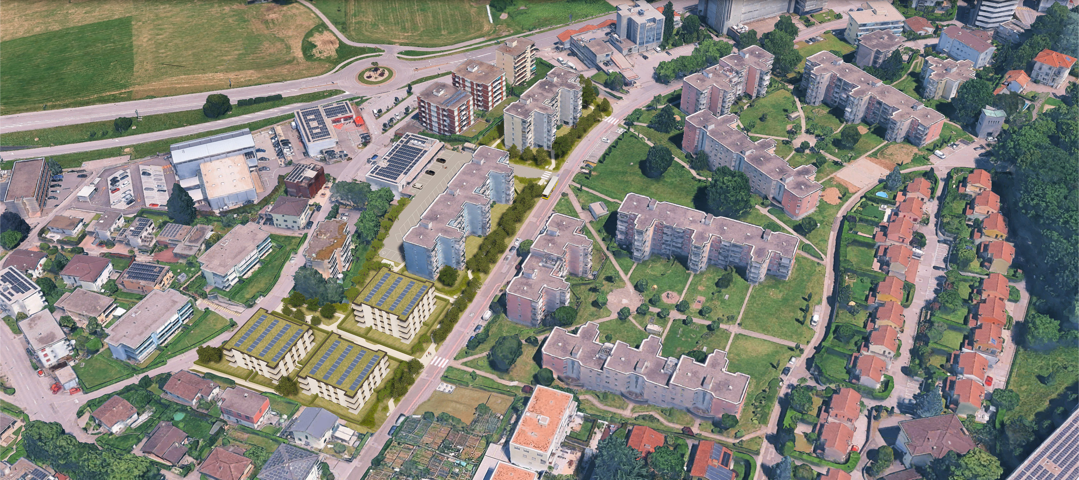
enhance the provided image while preserving the exact geometry composition framing scale perspective and all existing elements do not add remove move replace or modify any object building vegetation road terrain shadow or architectural detail the content must remain 100 identical improve only the visual quality by increasing resolution and sharpness reducing compression artifacts and noise enhancing fine details without inventing new ones improving color balance contrast dynamic range and tonal consistency refining lighting and atmospheric clarity while maintaining realistic daylight conditions creating natural looking textures and smooth gradients making the image appear as a high quality aerial photograph captured by a professional drone camera the final result should have a photorealistic aerial appearance with realistic colors crisp details accurate lighting and professional image quality while remaining a faithful enhancement of the original google earth based photomontage strict constraints no changes to the architectural project or surrounding context no generative alterations or hallucinated details no modification of perspective crop field of view camera position or scale no addition or removal of people vehicles vegetation buildings roads water shadows or landscape features preserve every pixel s semantic content only improve image quality and realism