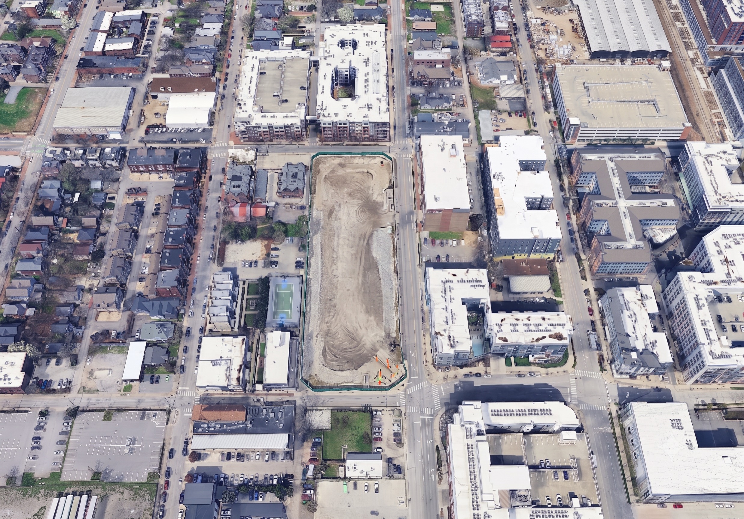
using the two provided images place the townhome development from the second image onto the empty dirt lot in the center of the first image the aerial photograph change only the empty lot fill it with the development and keep everything else in the aerial photo exactly the same all surrounding buildings streets parked cars trees the basketball court to the left of the lot and the sky must remain unchanged in position appearance and lighting reproduce the development s architecture from the second image faithfully and without alteration the same number of buildings the same footprints the same u shaped open courtyards the same wing positions and proportions the same roofline breaks and the same rooftop decks terraces and penthouses do not invent add remove combine or rearrange any part of the structure the only thing that should differ from the reference is the viewing angle not the architecture fit the development neatly inside the lot s boundaries so it fills the space end to end and side to side with its long axis aligned to the long axis of the lot and its courtyard openings and rooftop terraces oriented exactly as they appear in the reference because the reference is drawn as a flat overhead view while the base is an oblique aerial photograph render the buildings as full three to four story volumes seen from that same oblique angle so their walls and rooflines recede in correct perspective and they cast shadows in the same direction and of the same length as the neighboring buildings already in the photograph the result should look like a real aerial photograph not a computer rendering the new buildings should read as genuine brick structures captured by the same camera as the rest of the scene with matte roofs natural shadows and true to life color seamlessly matching the photographic quality grain and lighting of the original aerial image