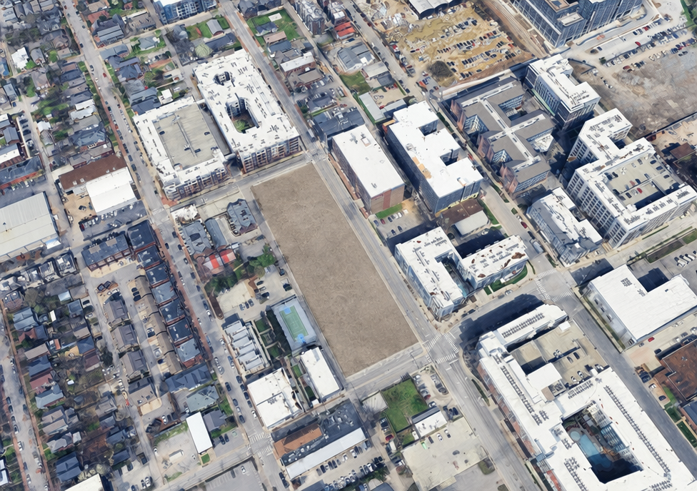
edit this base image the aerial photograph with the empty dirt lot build a completed townhome development on the empty rectangular dirt lot in the center of the image keep the base image s exact camera angle view height tilt perspective and framing do not change the viewpoint use the two references strictly as follows the 1st reference is an overhead top down view of the buildings use it to determine the exact shape of the four buildings each building s footprint outline roof shape and rooftop structure the rooftop terraces wood decking penthouse volumes railings planters and furniture reproduce these building shapes and their roof structures faithfully and exactly from the 1st reference along with its materials and finishes only rendered into the base image s aerial perspective the shape of each building must match the 1st reference the 2nd reference the site plan is used only to confirm there are four 4 buildings and how they are laid out in relation to one another their number and their arrangement in a row along the site take only the count four and the relative layout spacing from the 2nd reference do not take any shape structural detail material or style from it fill the empty dirt lot with exactly four buildings arranged in a row along the length of the lot as shown in the 2nd reference each building using the exact shape and structure from the 1st reference oriented to front the streets and sit properly within the lot boundaries nothing should extend outside the empty lot keep everything else in the base image exactly as it is all surrounding buildings streets parking lots houses trees and the sky and match the base image s existing daylight sun direction and shadows render the four buildings photorealistically at correct scale and perspective for the aerial view so the result looks like a real aerial photograph of the finished development avoid oversaturation a fake hdr look and plastic cgi smoothness