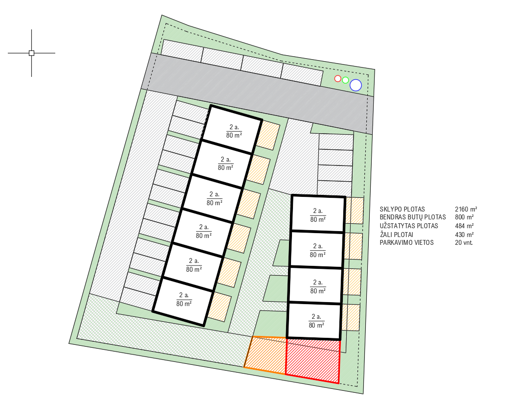
create a highly realistic orthophoto style architectural visualization of the provided residential development camera true top down aerial view camera positioned directly above the site at a 90 degree downward angle orthographic projection parallel projection no perspective distortion no horizon no oblique angle no bird s eye perspective the image should resemble a professional high resolution drone orthophoto or satellite orthophotography strictly preserve the source model exact building footprints and positions exact roof geometry and roof materials exact roads driveways sidewalks and paths exact plot layout and site boundaries exact landscape layout exact scale and proportions do not move rotate resize add or remove buildings do not redesign any architectural or site elements do not change any materials enhance only the photorealism realistic roof textures asphalt paving gravel grass and vegetation natural northern european landscaping realistic deciduous and coniferous trees subtle parked cars natural variation in grass and planting physically accurate material textures realistic but restrained environmental details lighting soft neutral daylight minimal dramatic shadows even illumination across the entire site slightly overcast baltic summer conditions suitable for an orthophoto masterplan presentation contemporary residential neighborhood in lithuania photorealistic extremely detailed natural colors realistic scale professional architectural masterplan visualization important the final image must read as a true orthophoto taken directly from above not as an architectural perspective rendering preserve the original site plan and architecture exactly