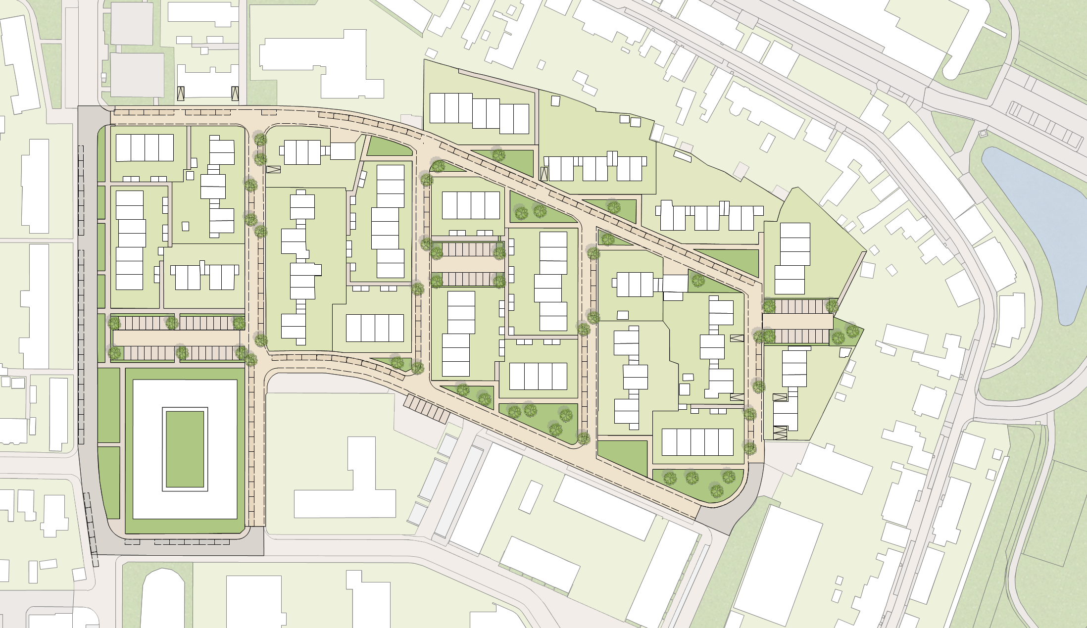
strict 2d plan view flat architectural drawing 90 top down orthographic zero 3d depth transform the reference into a strictly flat 2d urban design site plan important this is not a 3d visualization not an aerial rendering not an axonometric drawing and not a perspective view maintain the exact composition geometry proportions and spatial organization of the reference image create a professional 2d landscape architecture urban planning masterplan viewed perfectly from directly above 90 degree orthographic top view all elements must be represented as flat graphic plan symbols trees as flat circular organic green canopy symbols with black hand drawn outlines planting areas as flat green graphic shapes paving as flat beige and light pink surfaces paths and streets as flat grey surfaces benches as simple 2d plan symbols bicycle racks and street furniture as simple black line symbols buildings and surrounding structures as simple 2d linework tree shadows only as flat purple grey graphic shapes matching the reference no perspective no 3d no elevation no building facades no visible tree trunks in perspective no realistic vegetation no volumetric objects no atmospheric effects no photographic rendering the result should look like a professional dutch landscape architecture urban planning drawing similar to a competition presentation plan or cad based landscape masterplan but with an expressive hand drawn graphic style use black fine linework muted green vegetation warm beige paving light pink surfaces and purple grey graphic shadow shapes preserve the hand drawn character of the reference slightly irregular black outlines graphic tree canopies loose marker textures and architectural drawing conventions the camera view must remain completely flat and orthographic every object must be drawn as a 2d plan symbol do not reinterpret the design do not change the layout do not add depth reproduce the reference as a refined 2d urban design plan 2d only flat only no 3d under any circumstances