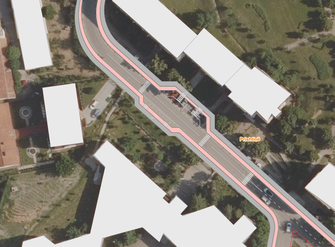
transform this conceptual road intervention plan into an ultra realistic aerial urban visualization while preserving the exact road geometry lane configuration sidewalk widths pedestrian crossings traffic calming island curb alignments building footprints and overall masterplan layout do not modify the design remove all labels annotations text colored planning graphics and schematic overlays urban environment convert the schematic proposal into a completed real world streetscape in the center of a contemporary european city realistic asphalt roadway with authentic lane markings subtle wear patching and surface texture premium pedestrian sidewalks with light gray concrete paving and realistic joints raised pedestrian crossings with detailed paving transitions traffic calming central island built with architectural concrete and natural stone edging modern urban street furniture including bollards benches bicycle racks and contemporary lighting poles realistic curb details drainage grates utility covers and municipal infrastructure buildings convert white massing blocks into completed contemporary residential and mixed use buildings realistic fa ades with glazing balconies architectural concrete stone cladding and metal details ground floor commercial spaces facing the street realistic rooftop equipment and architectural detailing landscaping mature urban trees with realistic canopies and seasonal variation high quality planting beds and public green areas natural grass shrubs and pedestrian gathering zones detailed urban park atmosphere surrounding the intervention vehicles activity realistic parked vehicles and moving traffic pedestrians using crossings and sidewalks active urban environment while maintaining architectural visualization quality lighting warm golden hour sunlight long realistic shadows from buildings and trees natural atmospheric perspective realistic reflections on glazing and vehicles advanced global illumination and ray traced lighting rendering style ultra realistic drone aerial photography high angle bird s eye view matching the original image dbox mir brick visual quality architectural competition rendering urban design presentation quality hyper detailed materials and landscaping 8k resolution cinematic color grading photorealistic city visualization indistinguishable from a real drone photograph negative prompt planning graphics colored overlays labels text road names schematic appearance white massing blocks sketch style cartoon look low poly vegetation unrealistic roads blurry textures oversaturated colors cgi appearance low detail buildings distorted geometry low resolution noise artifacts flat lighting empty environment