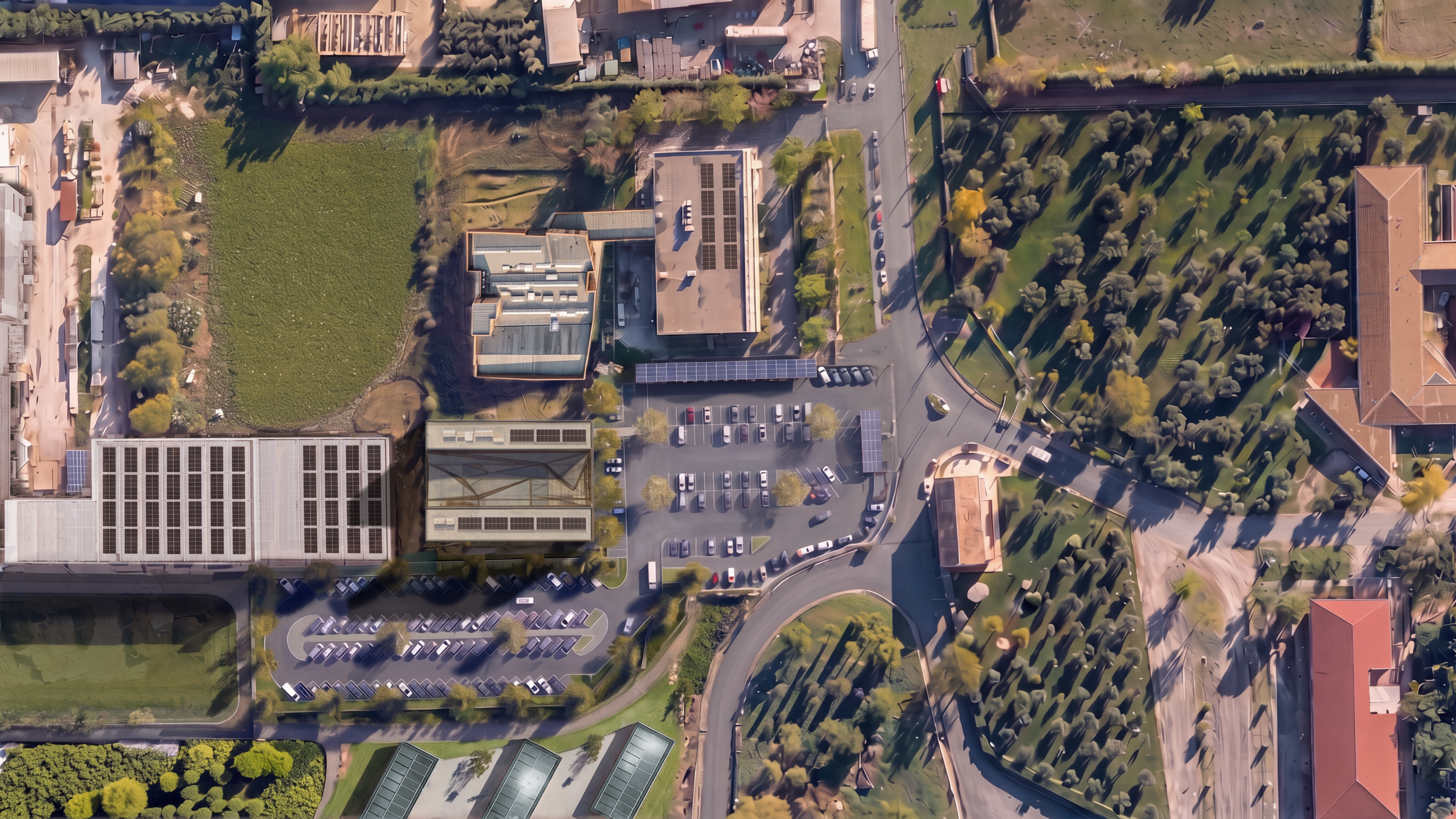
transform the provided photomontage into an ultra detailed photorealistic aerial orthophoto seamlessly blend the newly designed buildings parking lots and landscaping with the existing satellite context harmonizing materials asphalt textures and global color temperature populate the scene naturally by lots of people the scale of people bikes and vehicles must be 100 accurate to the aerial top down perspective premium architectural drone survey photography