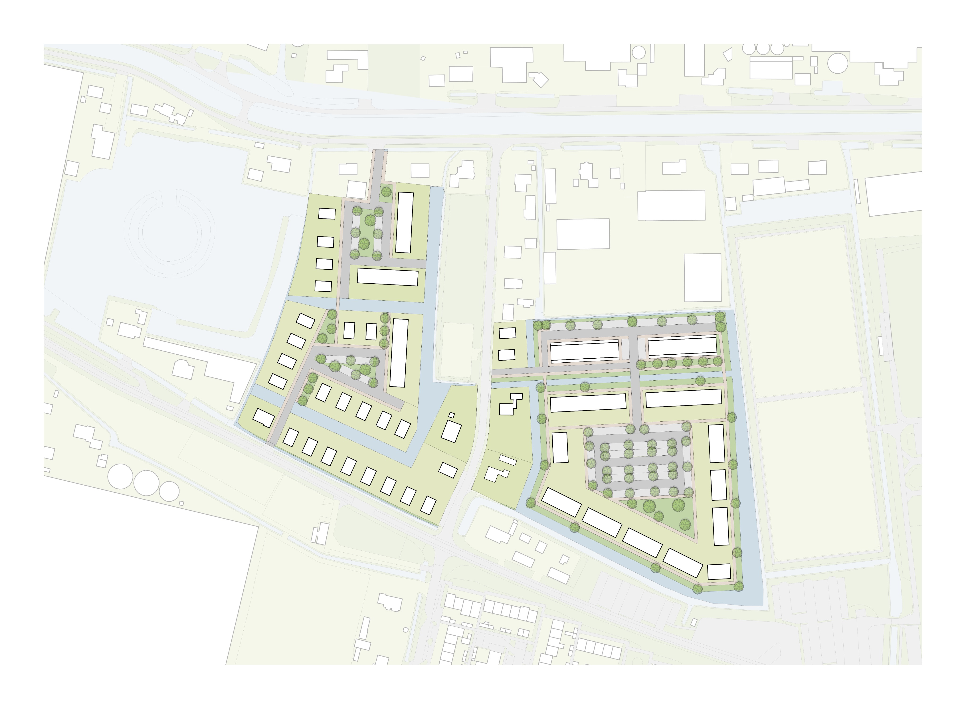
enhance and refine the provided architectural site plan while preserving the existing image and design exactly do not add remove relocate resize redesign or reinterpret any element maintain the exact positions footprints shapes proportions orientation and number of all buildings roads paths property boundaries parking spaces trees vegetation landscape elements water features shorelines and open spaces keep the same top down orthographic site plan view exact composition framing and scale as the source image improve only the visual and graphical quality of the existing plan clearer architectural linework subtle building shadows refined vegetation textures soft watercolor like landscape rendering gentle tonal variation in grass and paved areas and improved distinction between buildings gardens roads and public green space make all existing water features and their shorelines clearly visible and legible enhance the visual distinction between water shoreline and surrounding vegetation using subtle blue green tones soft watercolor textures and delicate edge definition the shape size and position of every existing water feature and shoreline must remain exactly as shown in the source image do not create extend reduce or reshape any water or shoreline maintain the character of a professional architectural competition urban design masterplan illustration light elegant soft slightly hand rendered with muted natural greens warm off whites subtle grey tones and restrained blue green tones for water do not make the image photorealistic no realistic aerial photography no satellite image appearance no 3d perspective no cinematic lighting no highly realistic materials water or vegetation strict image preservation use the supplied image as the fixed geometric base the intervention is a 2d graphical enhancement only not a redesign every existing object water edge shoreline and spatial relationship must remain unchanged