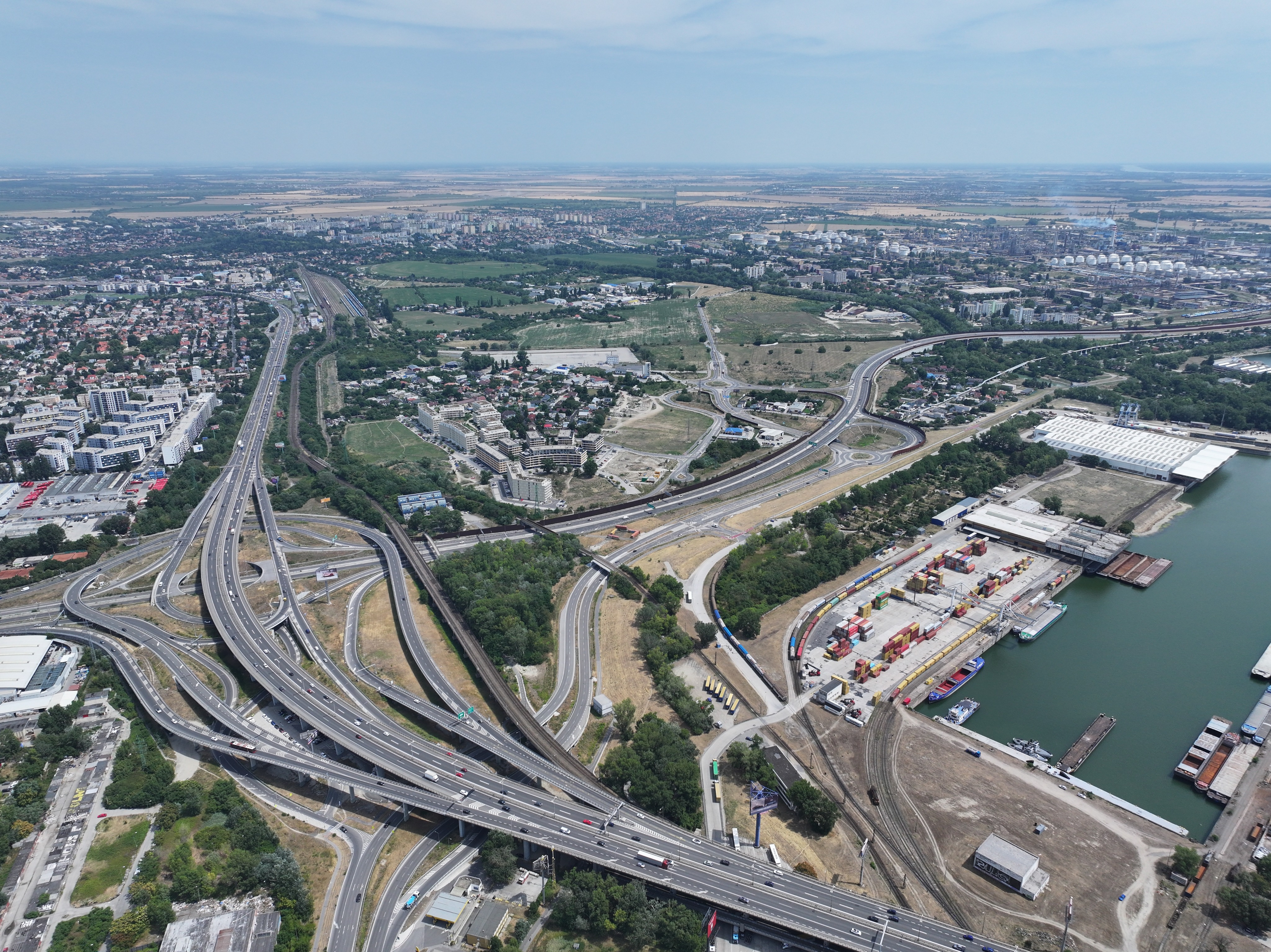
transform this aerial drone photograph into a premium hand drawn architectural and urban planning line drawing preserve the exact aerial perspective composition horizon geometry and spatial relationships of all highways bridges railway tracks buildings port facilities water vegetation and terrain do not add remove relocate or redesign any objects only change the visual style render the image as a clean black marker and technical pen line sketch using precise black outlines and varying line weights to emphasize the hierarchy of infrastructure and urban elements use only black lines on a pure white background ffffff no shading no fills no hatching no cross hatching no gray tones no gradients and no colored elements the result should be a minimal elegant highly detailed architectural competition line drawing with crisp sharp linework no text no labels no annotations no legends no arrows no dimensions no title blocks no watermarks and no graphic elements white background only no paper texture no beige cream parchment or aged paper tones