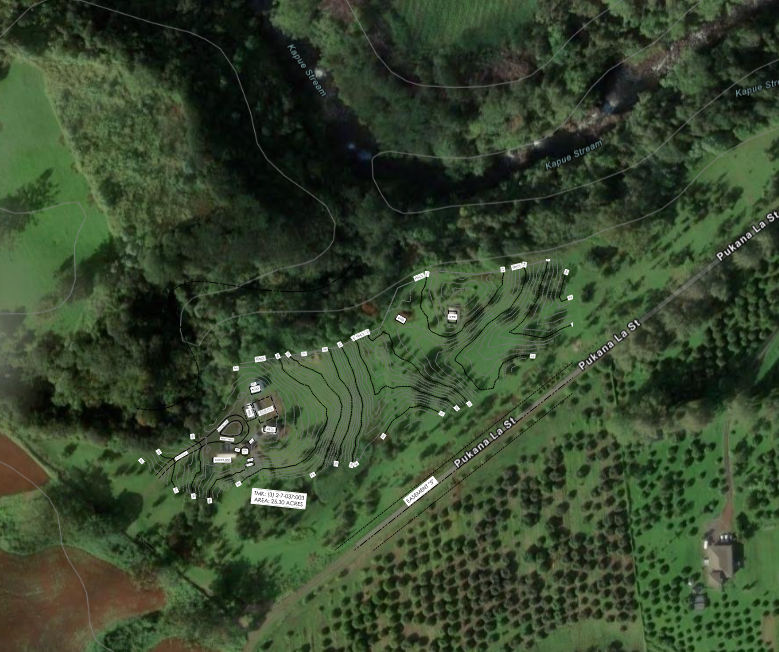
create a 3d topographic site model for 27 600 la road papaikou hi 96781 big island hawaii using the uploaded survey topo overlay and arcgis reference images the most important goal is accuracy of the site contours use the survey contour lines and elevation numbers as the main basis for the terrain heights and slopes the streams run left to right and join together on site show that landform accurately but do not exaggerate the gulch into steep walls or cliffs focus on the property itself with minimal neighboring context do not emphasize buildings keep any clearing or site disturbance only as light context vegetation should be tropical but light enough that the terrain remains easy to read output should be a clean conceptual architectural 3d terrain model useful for later building placement studies