archsynth
Sign Up
Open main menu
Image to 3d model
Compare
Testimonials
Contact us
Log in
→
Signup
Archsynth generation
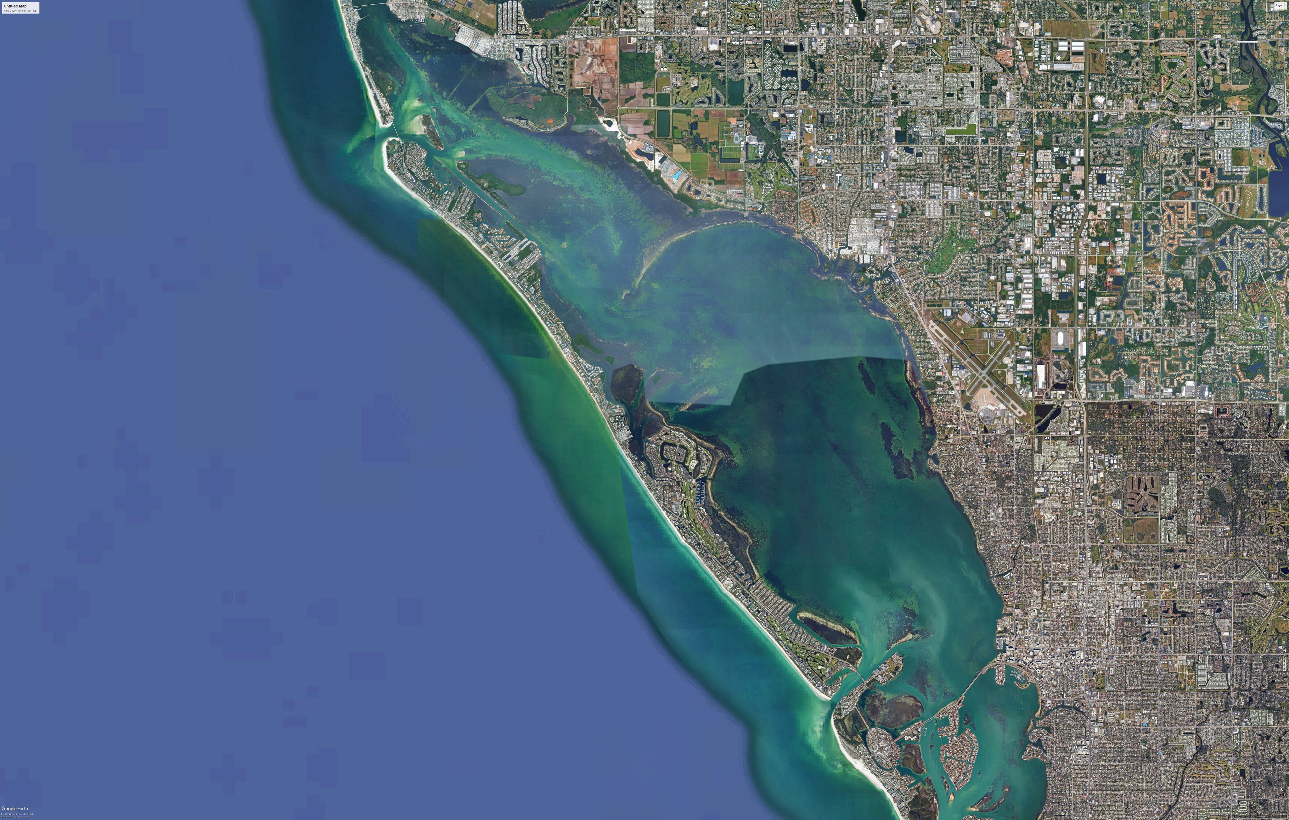
Input image
Copy Prompt
create an aerial base map for use with site analysis using this reference aerial photo but do not change the composition of the land water roads buildings etc focus on upgrading the materials and finishes
Presentation
strength 75
seed 10
Start Creating Renders Now
Related Posts
Start Creating Renders Now
View more