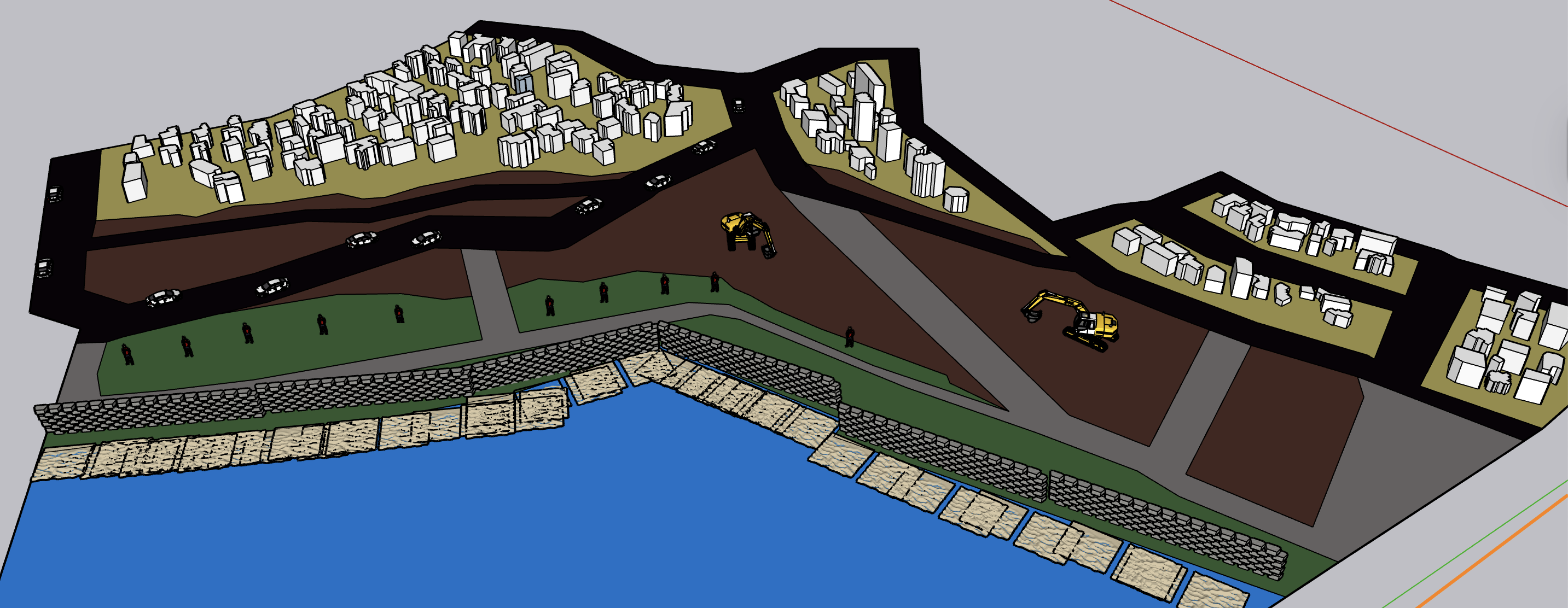
the yellow areas indicate residential zones the green areas represent the coastal restoration zone formed in response to shoreline processes the brown areas mark the government acquired demolition zone which functions as a walkable corridor during low tide the blue areas denote the ocean the area located behind the residential zone remains designated for residential use the area located behind the residential zone remains designated for residential use grey lane is decommissioned coastal road ghost line