archsynth
Sign Up
Open main menu
Image to 3d model
Compare
Testimonials
Contact us
Log in
→
Signup
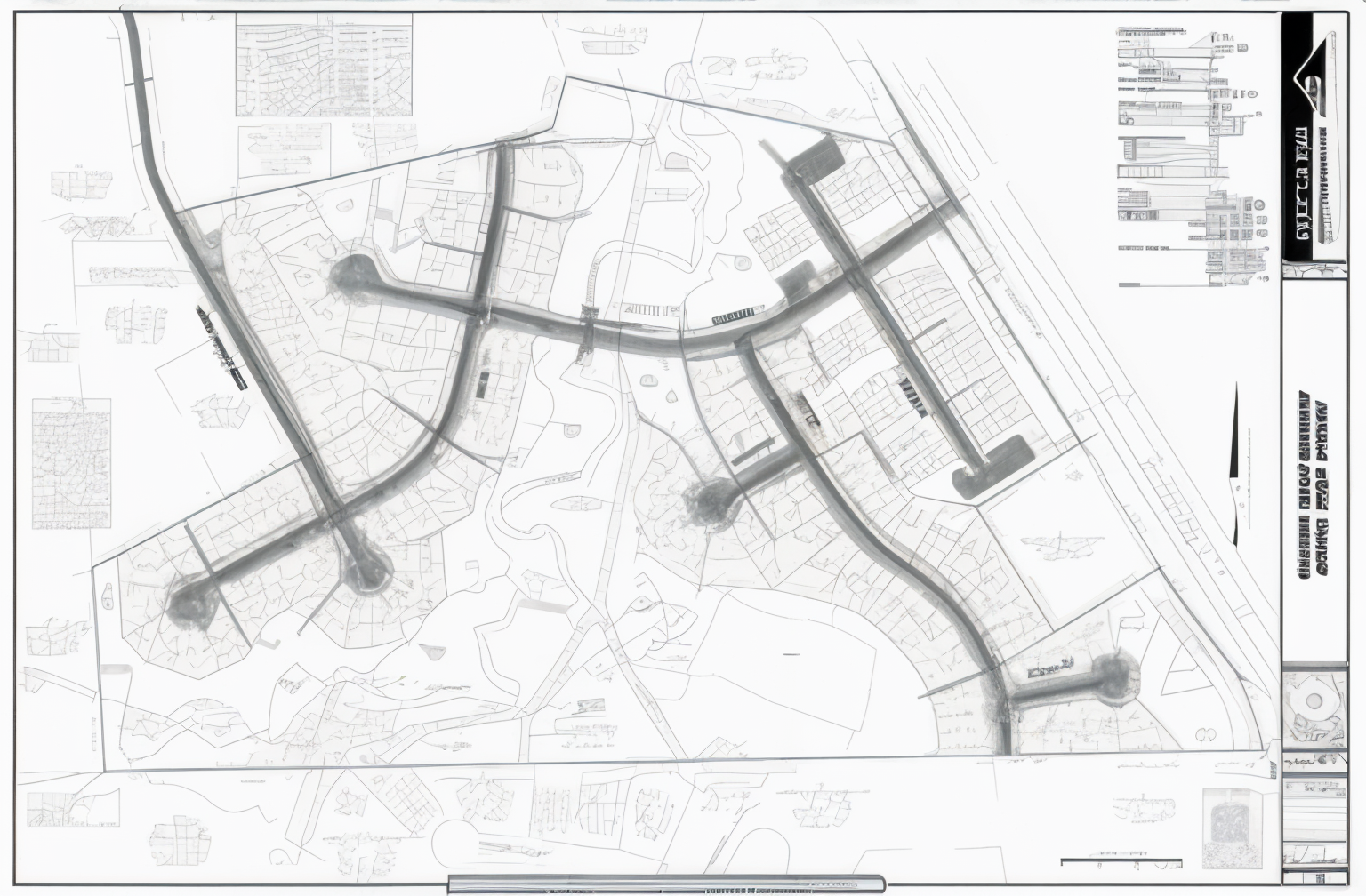
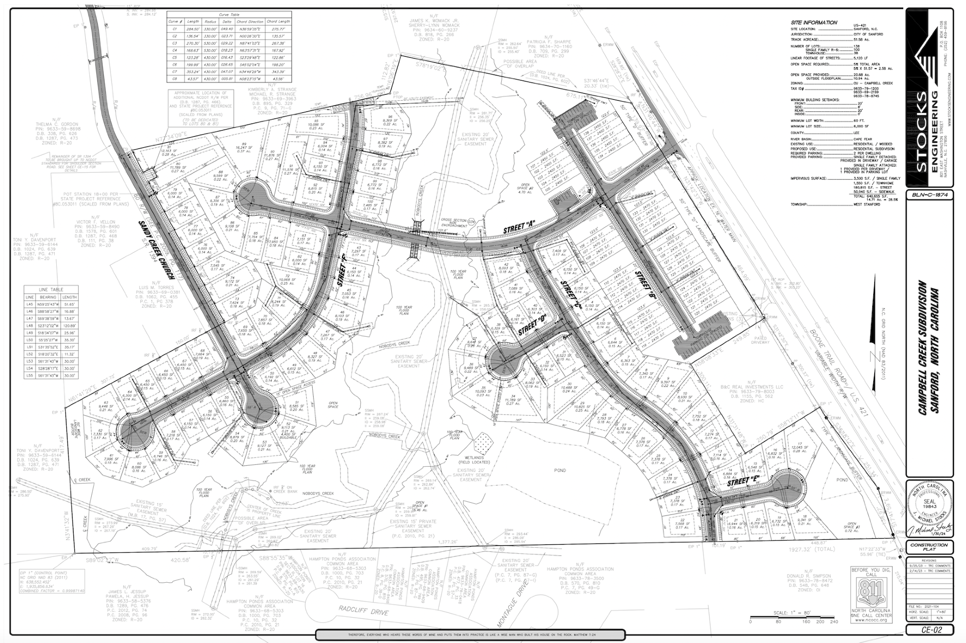
Archsynth generation
Input image
Copy Prompt
transform this sketch by with google maps aerial data into comprehensive 3d visuals including showing streets plot boundaries and home placements
Landscape
strength 75
seed 4518
Start Creating Renders Now
Related Posts
Start Creating Renders Now
View more