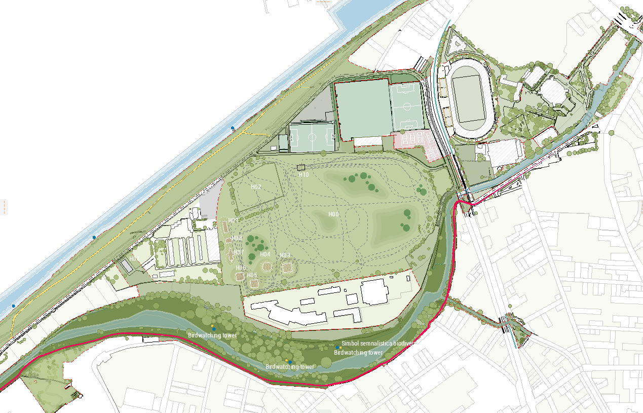
use the uploaded image as the base preserving the existing composition geometry scale and all current elements the intervention should add a clear coherent and professional stormwater management diagram over the original board image integrated graphically into the drawing without excessively covering the background information add the following elements represented clearly in a technical urban landscape planning diagram style with clean elegant and legible graphics 1 natural stormwater flow directions show flow directions with fine arrows continuous or dashed clearly oriented according to the site s natural slopes highlight the main and secondary runoff paths maintain topographic logic and the relationship to the landform 2 location of rain gardens and bioswales clearly insert the proposed areas for rain gardens and bioswales differentiate them visually with a distinct color hatch or outline show their role in intercepting filtering and slowing stormwater runoff 3 retention areas temporary ponds mark the spaces where water can be temporarily stored during heavy rainfall events represent them as depressions green basins wetland pockets or temporary water bodies according to the site logic suggest their function as hydrological buffer zones 4 permeable versus impermeable surfaces clearly distinguish permeable and impermeable surfaces through color coding or texture include paths paved areas roads built surfaces green areas draining soils etc the representation must be immediately understandable visually 5 relationship with the existing watercourses highlight the connection of the stormwater scheme with the mure river brat mort the canal and the poclos stream show hydrological connectivity controlled discharge buffer zones and the relationship between the local drainage network and the existing water bodies keep all labels legible and correctly placed graphic requirements use a professional urban landscape explanatory diagram style overlaid on the existing image the intervention should be clear organized diagrammatic and elegant not decorative use a coherent visual hierarchy blue cyan for water and runoff green for green infrastructure neutral tones or subtle hatching for surfaces add short precise legible labels include a compact legend with all represented categories keep the original image recognizable and visually clean avoid a photorealistic look the final output should read as a well composed technical conceptual board the final result must communicate the stormwater management strategy at site scale very clearly explicitly showing natural runoff directions rain gardens bioswales retention areas temporary ponds permeable impermeable surfaces and the relationship with the mure river brat mort the canal and poclos