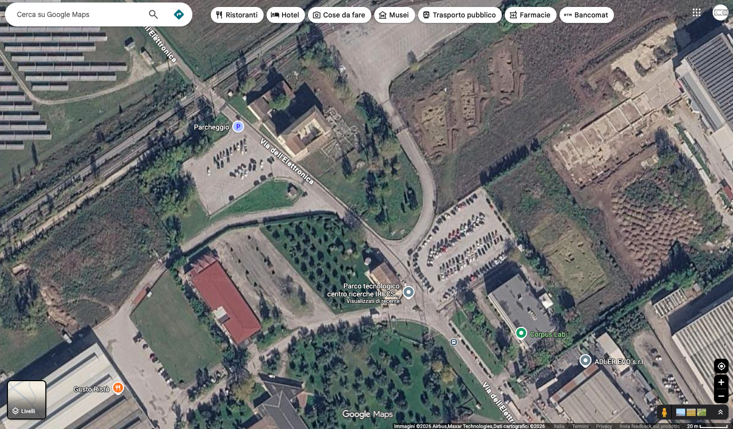
act as an expert architectural visualizer and digital cartographer analyze the provided series of satellite screenshots and seamlessly stitch them together into a single cohesive ultra high resolution aerial photograph critical instruction you must strictly maintain the exact proportions scale and spatial relationships of all buildings trees roads and urban elements do not alter the original geometry layout or dimensions of any element present in the source images eliminate any visible seams distortions ui elements or watermarks enhance the overall visual quality apply professional color grading to make the vegetation terrain and urban fabric look vibrant and natural adjust the global lighting to simulate a clear bright sunny day with soft realistic shadows that give depth to the topography and the buildings the final output must look like a premium high altitude drone survey photograph perfectly optimized as a base for a high end architectural masterplan presentation